About the project
Tackling the issue of cyclone-induced marine and river floods forecast in the French Overseas Territories.
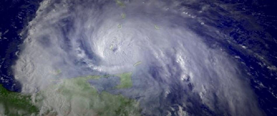
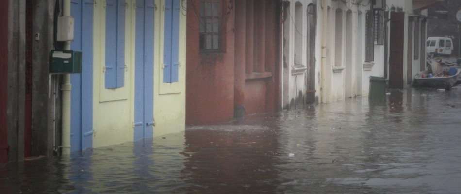
SPICy is a research project that aims at realizing an experimental cyclone-induced marine and river floods forecasting system for the French Overseas Territories.
To reach this objective, the project proposes an interdisciplinary approach that enables building a comprehensive strategy from meteorological to marine and river inundation forecast models. Beyond the improvement, implementation and combination of different tools, the novelty of the project also lies in the strong implication of local crisis operators to ensure that the project developments fit the concrete needs of crisis managers.
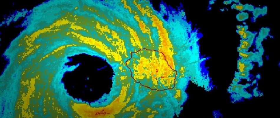
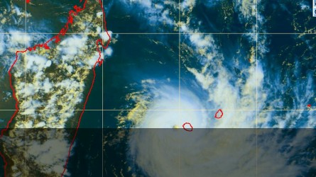
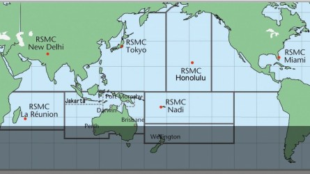
For the project, the selected pilot site is Reunion Island. This choice is motivated by the high frequency of cyclones affecting the island every year and the decisive role of Météo-France in the Indian Ocean basin as official RSMC. Two scales will be investigated: the scale of the island and the scale of 3 local sites (Sainte Suzanne, Saint Paul and the coastal road RN1). The demonstrator developed during the project will be tested during two crisis exercises in the course of the project.
SPICy is organized around 4 axes or workpackages: (1) meteorological forecast (2) oceanographic and marine inundation forecast (3) river hydraulics and river flood forecast (4) integration of results for risk prevention and crisis management.
Dernière mise à jour le 23.08.2016


